Everyday Life Along Boise’s River Corridor
Lacey Hall March 26, 2026
Lacey Hall March 26, 2026
Picture your morning starting with coffee, a quick bike on a shaded path, and a lunch break by the water. That is a normal weekday when you live near the Boise River. If you are curious how the Greenbelt shapes daily life, where people actually go, and what to consider before you buy, you are in the right place. This guide breaks down the routines, neighborhoods, and practical checks that make river‑adjacent living work. Let’s dive in.
Boise’s Greenbelt is the paved, mostly level path that traces the river through town and links a chain of parks. The City‑managed stretch commonly referenced is about 25 miles. It also connects into a broader regional network that can extend farther when you include linked routes. You can get a helpful overview from the local parks guide on Visit Boise’s Greenbelt and parks page.
The Greenbelt connects a series of riverfront parks known as the Ribbon of Jewels. These parks anchor daily routines, from playground time and sports to cultural outings. Highlights include Ann Morrison Park, Julia Davis Park, Esther Simplot Park, Marianne Williams Park, and more. Explore amenities and maps on the City of Boise’s Ribbon of Jewels page.
A simple milepost system, called DOTS, helps you track distances between parks, bridges, and access points. It is useful for planning a commute, a stroller‑friendly loop, or a run. For orientation, check the Boise Greenbelt DOTS map.
The Greenbelt serves as a low‑stress route for walkers, bike commuters, scooters, and families with strollers. Many residents use it to reach downtown jobs, cafes, and nearby schools without driving. The level, paved surface makes it approachable for casual riders and routine errands.
Weekdays and weekends revolve around the river parks. You will see soccer practices, picnic shelters in use, and kids at playgrounds. Julia Davis Park adds cultural stops like museums and the zoo, while Ann Morrison is a hub for sports fields and gatherings. Esther Simplot and other ponds offer boardwalks and wildlife viewing.
A classic Boise pastime is the summer float, typically launching near Barber Park and taking out at Ann Morrison Park. Rentals, shuttles, and parking are run seasonally and depend on river conditions, so always verify details on the Barber Park float page. Local reporting notes very high seasonal use on this stretch, which helps set expectations for summer crowds and parking near takeouts; see context from Boise State Public Radio’s float season coverage.
Near downtown, the urban whitewater park is a year‑round focal point for kayakers and surfers, and it is fun to watch even if you never get in. It is one of the corridor’s signature urban features and adds energy to after‑work hours.
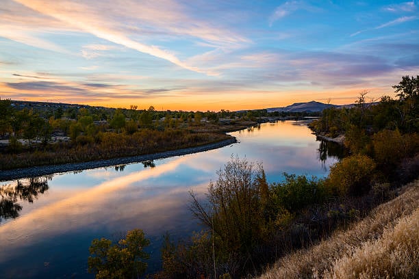
Early mornings can be peaceful, with birdwatchers along shaded stretches and anglers at the ponds. Common sightings include herons and waterfowl, with seasonal migratory birds in view. For a sense of the corridor’s nature appeal, see this Forbes feature on the Greenbelt and parks.
Sections of the Greenbelt may close for resurfacing, flood response, or construction. The City posts updates, and local outlets have covered recent upgrades and maintenance patterns. For example, resurfacing and furniture improvements were reported in recent years by BoiseDev.
The Greenbelt is a recreational spine that connects to Valley Regional Transit routes and neighborhood streets. Accessibility features vary by park and entry, so it helps to note your nearest paved access and transit stop. The city’s visitor materials offer a useful accessibility overview to start your planning.
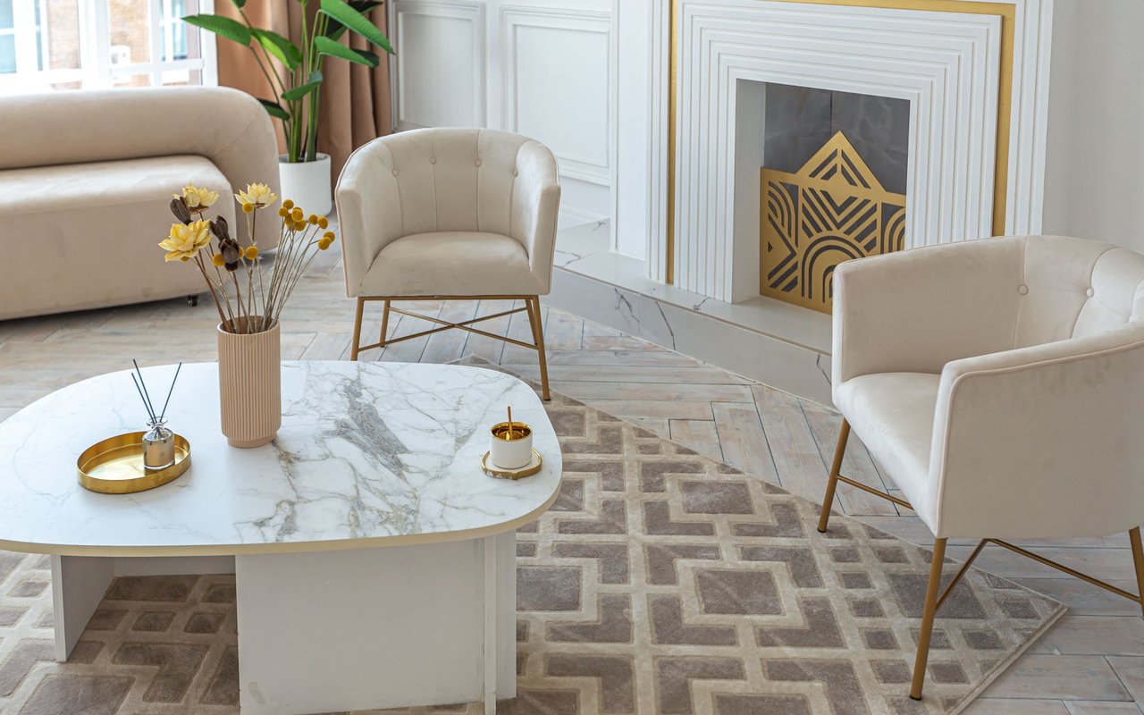
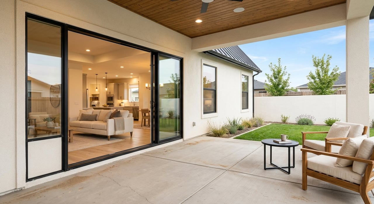
If you like an urban‑light routine, you can work downtown, walk to restaurants, and hop on the Greenbelt for an evening jog. Apartments, condos, and newer townhomes put you close to museums and parks. Your week might include a bike commute along the river and a quick stop at the whitewater park on the way home.
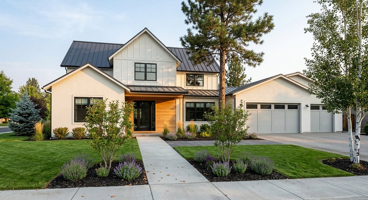
Tree‑lined blocks and historic homes define this area. You can roll a few minutes to Greenbelt access points or head to the foothills for a quick hike. Expect short trips to neighborhood cafes and regular weekend loops along shaded river segments.
This quieter stretch places you near the Idaho Botanical Garden and foothills trailheads. Homes sit on larger lots, and river parks are close for evening strolls. It is a calm residential feel with fast access to scenic overlooks and Greenbelt entries.
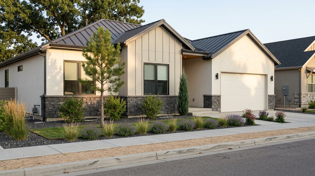
Newer subdivisions near Barber Park and Marianne Williams Park deliver a suburban‑meets‑river rhythm. You can start a family ride from your front door, reach ponds and playgrounds in minutes, and plan an easy float day. The Greenbelt functions as both a recreation asset and a daily connector.
West of downtown, parts of Garden City blend art spaces, breweries, and new residential infill near the path. It has a creative, commercial energy and fast connections into downtown’s Greenbelt section. Evenings often include a short ride to dinner or a casual walk by the water.
Use this quick list to assess fit and logistics before you write an offer:
If you value low‑car living, you can stitch together errands, workouts, and social time along the path. If you want easy outdoor time, the parks, ponds, and float options fill evenings and weekends. If you prefer a quieter setting, choose homes a bit back from major takeouts and festival sites while keeping quick access to the river.
Choosing where to live along the corridor is about daily rhythm, not just a map pin. If you want help matching neighborhoods to your commute, recreation style, and timeline, reach out. You will get organized steps, clear tradeoffs, and steady communication from Lacey Hall. Get a Free Home Valuation or schedule a consult to map your next move.
Stay up to date on the latest real estate trends.

Work with professionals who prioritize your needs, offering tailored guidance, market insight, relocation support, and new construction expertise through a stress-free approach.
Get In Touch With Our Team To Learn More